General Information
Number of participants: 2
Number of days: 9
Water Level: The Main branch was very low, the Magpie was average. A foot more water would have made the white water way better. I think a high water year it would be ok, June/ July would be stomping but very fun.
Trip Dates: Two weeks in the middle of September
Total KM: 260
Total Elevation drop: almost 2000ft
Maps used:1:50000 (22P/13, 22P/14, 22P/10 22P/11, 22P/7 22P/3, 22P/2, 22I/15, 22I/8, 22I/9, 22I/10)
Gauge: None
General weather: Very hot! through out most of the trip it was 20+ degrees. We did have our stuff freeze one morning.
Pace of trip: Fast
Campsites: The flat water approach has many beaches and lots of cozy pockets in the woods, great camping. The 200ft water fall at the end of the unnamed tributary of the Main Branch is one of the most beautiful places I have been fortunate enough to camp in. Lac Magpie is absolutely stunning and has plenty of beaches. The Magpie has plenty of established campsites, it will make your life way easier finding them if you bring along the Cartes Plein Air annotated map of the Magpie.
Overland Overview: The cross over was way more manageable than what the maps looked like. Wawawiwa (said in a Borat voice) creek was an Alder fest
Whitewater overview: The Unnamed tributary of the Main Branch is creaky. The Main Branch with more water would be an incredible section of R2/3(4). The Main Branch with our water level might be suitable for advanced wilderness canoeists with extensive wilderness white water experience. The Magpie has a more traditional big water feel.
Sept Iles: Great Town to Start an expedition in. It has everything that you would need, Walmart, Tims Ext. Hot Tip, Gino's has really good pizza! To sleep; there is a wide variety of hotels and motels, a thriving Tinder scene, the Walmart parking lot, and a quiet little park near the train station.
The Train: Take it!!! it is so beautiful out there, never once was our group board. The train ride in is absolutely stunning. The “flat” water is not really that bad as the river moves at around 2km/hr and has occasional rapids. It also gives you time to figure out your systems for your group; morning rituals, packing your boat and how your boat feels fully loaded. Lastly: YOU HAVE TO EARN YOUR TURNS!!! nuff said. The Train ticket is fixed, but your kayak can cost really what ever the person at the desk decides to charge you. Do not call it a kayak, do not call it a canoe. Say its a wave ski and its over 4ft long. Hopefully this will cost less then a canoe (140$)
Day 1
Note: See Magpie River (Ouest Branch) for a detailed description of the upper section of the West Magpie
Campsite: To save space I did not bring the first days maps.
Distance: 20ish km
HOW: 2-5
Weather: Hot/ sunny
Day 2
Campsite: 385 216 22P/11
Distance: 35km
HOW: 8:30-6
Weather: Annoying headwinds/ sunny
Day 3
Campsite: 487 113 22/P11
Distance: 31km
HOW: 8-5:30
Weather: Rain/ cloud in the morning, hot and sunny in the afternoon. Headwinds on Lake Pierres
Tech:
Riviere Go is continuous R2/3 and would make an excellent fly in route to access the West Magpie. It took us 2.5hrs to go up.
Day 4
Campsite: 634 091 22P/10
Distance: 22km as the crow flys, 25 as the river bends.
HOW: 9-5:30
Weather: Hot/ sunny
Tech:
1) Crossed to Lac Dolbel on creek @ 485 124 22P/11 - Very good!! Only a few rapids and lift overs.
2) Crossover to Lac Rozee @ 544 116 22P/11 - easy dragging till...
3) Portaged 1 km from 556 114 till pond @564 108 threw burn
4) Wawawiwa (said in Borat voice) creek - from the above pond to Lac Rozee is an alder fest, have fun!
Day 5
Campsite: 758 048 22P/7 (bellow the 200ft waterfall)
Distance: 14km
HOW: 9-3:30
Weather: Bluebird/ hot
Tech:
1) R3 735 034 22P/7
2) R5 (Sieve City) 735 034 flows into....
3) R5 (S-bend) 736 035
4) R3 till...
5) R4 737 036 CAUTION!! Flows into...
6) Portage (50ft sieve pile) 736 036 Portage RR, might go with more water
7) R3/4 (Pinball) boat scout from 736 036- 735 045
8) R5 slides 754 046 We seal launched around the first of 4 drops (it would go with more water)
9) 200ft waterfall 756 048 Portage RR
Day 6
Campsite: 4km past the confluence of the West Magpie?
Distance: 58km (26km till the lake, 32 on the lake)
HOW: 9-2:30 (rest from 2:30-4) paddle till 6 (dinner 6-7:00) off water at 3am
Weather: Hot/ sunny
Hot tip: Some of the most spectacular scenery out there.
Tech:
1) R2 confluance drop
2) R2/3 (4) continuous till...
3) R4 (The Maze) 764 037 watch out for sieves.
4) R2/3 (4) continuous till...
5) R4 (Island) 777 996 ran RL
6) Becomes pool drop R2/3 till approximately 795 974 then....
7) Royal Ride!
8) Flattens around 777 870
9) Outfitter at mouth of river
Day 7
Campsite: 897 296 22I/15
Distance: 25km
HOW: 12-6:30
Weather: Light headwind moving to dead calm
Day 8- 9
For detailed description of the Magpie River from the Lake down please read Magpie River (Ouest Branch)
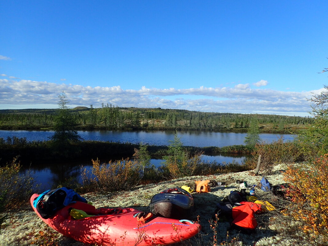
Upper West scenery
|
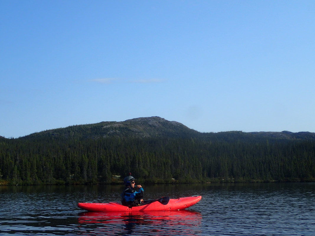
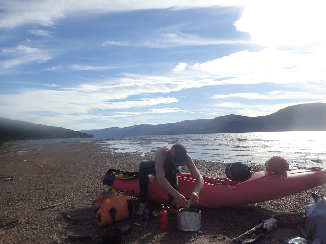
Lac Saubosq, and some of the immense Magpie massif. Also Marc, brushing his teeth
|
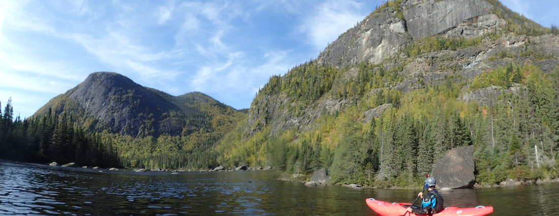
The Main Branch of the Magpie is one of the most beautiful in Cote Nord
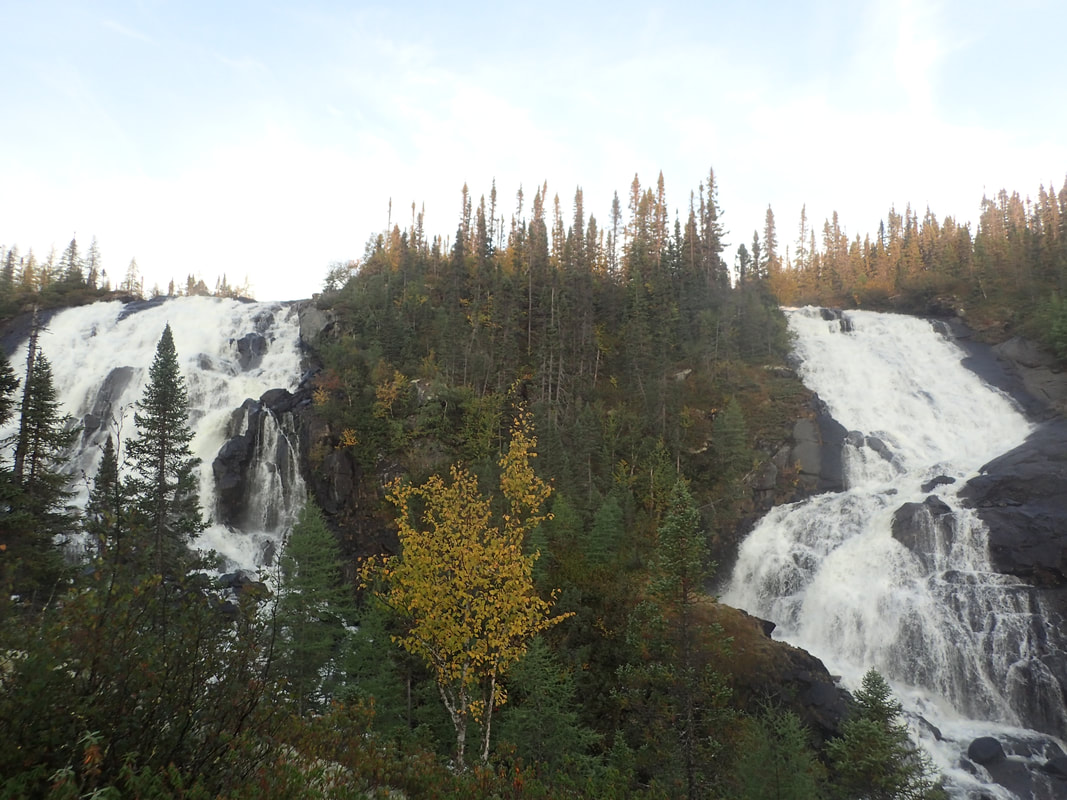
The big falls un the unnamed river from Lac Saubosq
Lac Magpie
|
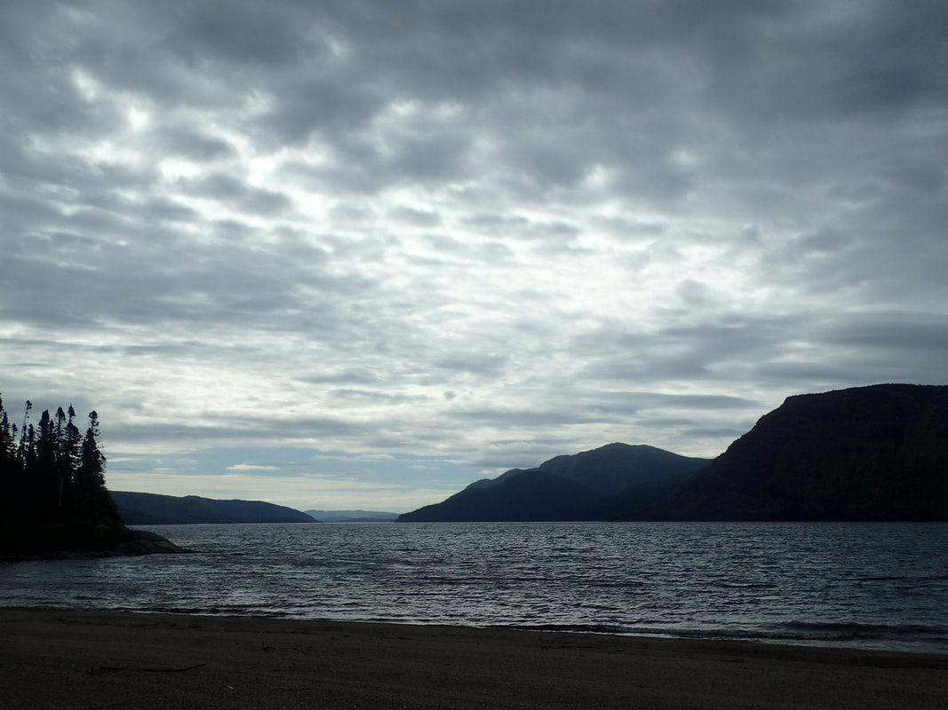
Lac Magpie is one of my favorite lakes in the world
|
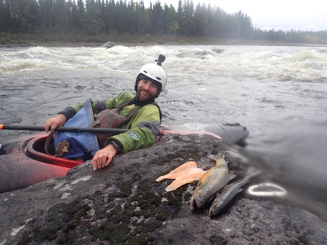
Happy Fraser, lots of trout
